This is a briefer on Greenpeace Indonesia’s initiative to support transparency and the public interest through the Kepo Hutan map platform, it includes the case study: ‘Getting Tohor on the map’.
Download the briefer which provides background for Kepo Hutan map platform. See also this media release.
Background:
Sungai Tohor village is situated on one of the Meranti islands off the coast of Riau. In 2014, the village drew international attention after a community member, Pak Manan, started an online petition calling on President Jokowi to come see for himself the terrible impact of fires on his community resulting from peatland drainage by a pulpwood plantation company.
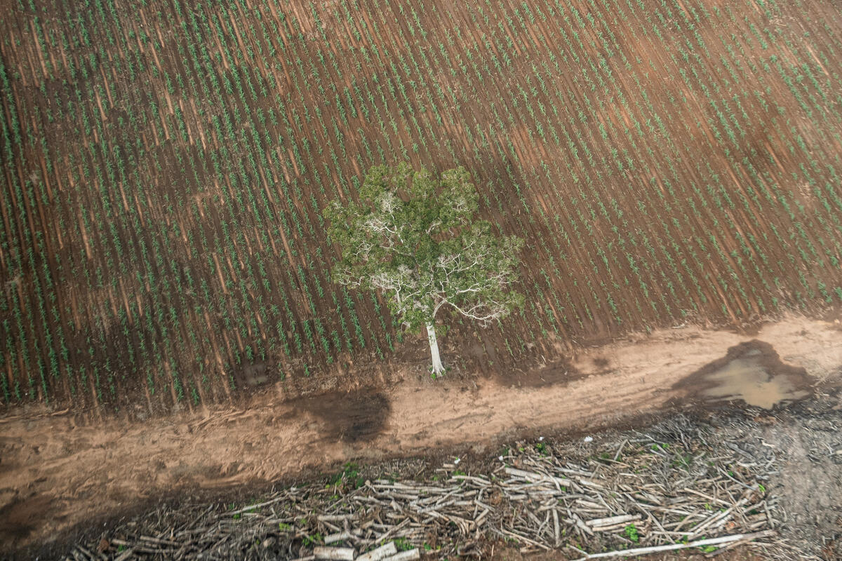
In 2009, villagers discovered that more than 10,000 ha of their island had been allocated to a pulpwood company, with 10-metre-wide transport canals cutting through their peatlands and excavators clearing an area of land they use for cultivation. The community also learnt that a 21,000 hectare selective logging concession on the island had been relicensed as a sago plantation.
Not only did the community have no say over these allocations, they were not even told, despite these concessions overlapping with their own [unmapped] lands.
The impact was terrible. Drainage for plantations eventually led to fires in 2014 which burnt some 5,000 hectares of land including community sago orchards. Even without fires, the drainage was damaging natural forest and community sago plantations. According to the community, the drained peatland reaches up to 9 metres in depth – areas which legally are supposed to be off-limits to any such development.
In November 2014, as a result of Pak Manan’s online petition, President Jokowi visited the village to see for himself the cause of the community’s concerns. Moved by what he saw, the president personally helped the community construct a dam across the drained peatlands. He ordered his ministers to revoke the plantation licence and review all industrial concessions on peatland to see whether they were damaging ecosystems.
A year and a half later, the people of Sungai Tohor have been told that the pulpwood concession has been revoked, but are still unsure of the legal status of their own sustainable sago plantations, and of the boundaries of the industrial sago plantation concession which remains. The villagers have been given no official letters or maps to clarify the situation.
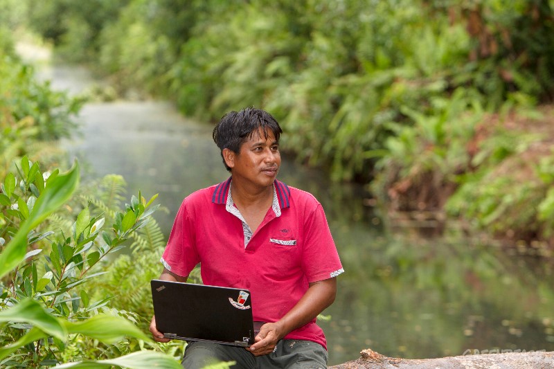
Maps such as those contained in Greenpeace’s Kepo Hutan platform, seen in use below by Pak Manan at Sungai Tohor in March 2016, could help provide communities with the certainty that inspires both entrepreneurship and good stewardship. Ultimately however it is up to the government to ensure the latest and most complete information is available to the public.