Jakarta— Forest fires are back in Indonesia, with over three thousand hotspots detected so far in August. Smoke from the fires was at “very unhealthy” levels in Bengkalis district of Riau province on Saturday. The fires are also affecting Indonesia’s neighbors – on Friday Singapore’s National Environment Agency announced air pollution had reached unhealthy levels, while Malaysia made an official complaint about air pollution earlier this month. [1,2]
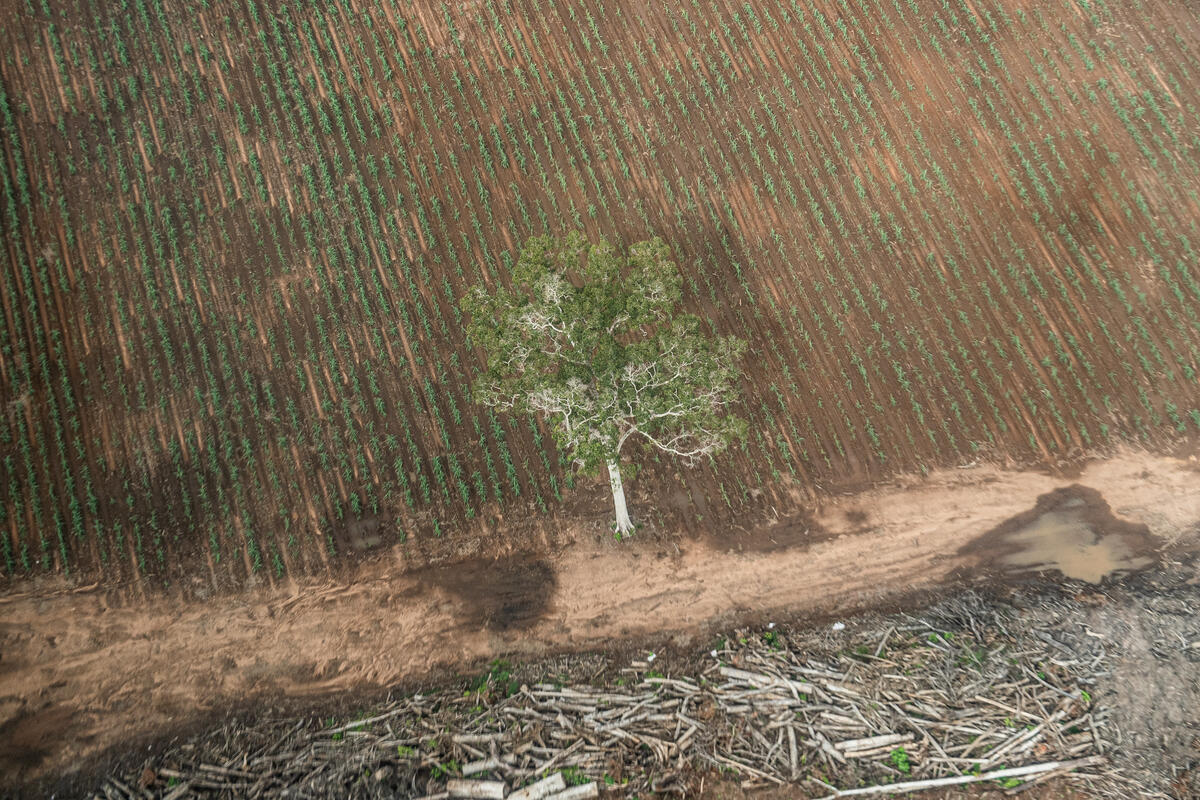
New maps released today by Greenpeace for Riau and West Kalimantan [3] show that many fires are occurring on industrial plantation concessions in the same areas that burned last year. This disaster is recurring because companies have ignored the government’s order to block canals to re-wet flammable peatlands, foremost among important fire prevention steps which needed to be put in place over the past 12 months. [4] Yuyun Indradi, Greenpeace Indonesia Forest Campaigner said:
“Like clockwork, the fires are back again a year after the 2015 disaster. Companies are keen to showcase flashy water bombing flyovers, but the truth is the fires could have been prevented in the first place if they had rewet the peatlands they drained for paper pulp and oil palm plantations. Instead, companies continue to exploit peatlands, putting the pursuit of profits ahead of public health and the environment.
“The smoke from last year’s fires took a terrible toll on infants and the elderly, and kept almost five million children away from school for up to a month. Companies that refuse to take steps to prevent fires have not just ash, but blood on their hands. Companies must comply with the order to to prevent fires by stopping peat drainage, and government must take steps against those that refuse to do so.” [5]
The maps attached to this release cover Riau and West Kalimantan, which have seen some of the worst fires. However custom analyses of the rest of Indonesia are available to journalists, law enforcers and the public via Greenpeace’s Kepo Hutan interactive map site. [6] The tool monitors fires and deforestation in near-real time, and shows to an unprecedented extent who controls the land where they are taking place.
“Police and lawyers for the Ministry of Environment and Forestry have at their disposal maps of the areas which burned in last year’s disaster, but have managed only a handful of prosecutions, while dropping investigations into 15 Riau companies. As for fires during August so far, despite 1,296 fire hotspots within company concessions nationwide, and 354 on company land in Riau alone, on Thursday police announced that they were investigating just nine Riau companies. Instead of holding companies to account, 85 community members have been deemed suspects in the province,” Yuyun said.
“Public access to maps showing who is responsible for the land where fires breaks out is essential. Greenpeace regrets that the government continues to keep the latest shapefile maps of plantation concessions secret.”
Notes to the editor:
[1] 3,324 fire hotspots were detected from 1 to 27 August 2016. This was a rising trend: From 186 in the last week of July; 446 in the first week of August, 777 in the second week of August and 1,494 in the third week. Photos of Greenpeace volunteers in burnt forest in Riau protesting for greater government transparency are available here: http://media.greenpeace.org/shoot/27MZIFJJ92929
[2] Data on Indonesian air quality taken from http://iku.menlhk.go.id/. On Friday afternoon, Singapore’s 24-hour Pollution Standards Index (PSI) reached 105, where readings above 100 are officially classified as “unhealthy”. On 18 August Malaysia’s environment minister said he would contact his Indonesian counterpart about pollution blowing across to peninsular Malaysia from Sumatra http://www.nst.com.my/news/2016/08/166526/kl-tell-jakarta-haze-now-hitting-malaysia
[3] Maps showing fire hotspots in company concessions, and comparing last year’s fires with this year’s are here: http://www.greenpeace.org/seasia/Global/seasia/2016/GP_IND_Fires_15-16_RIAU_ENGLISH.png and http://www.greenpeace.org/seasia/Global/seasia/2016/GP_IND_Fires_15-16_WKAL_ENGLISH.png
[4] Greenpeace’s fire action plan for companies is here: http://www.greenpeace.org/seasia/Press-Centre/Press-Releases/Greenpeace-calls-on-Indonesias-plantation-industry-to-adopt-Fire-Action-Plan/
[5] Lost school days reported in https://www.greenpeace.org/static/planet4-southeastasia-stateless/2019/04/9152001a-9152001a-indonesia-forest-fire-notes.pdf. The World Bank also reports that last year’s haze caused 500,000 cases of acute respiratory infections, and adds that while data on last year’s health impacts is still incomplete, “a study on the effects of the 1998 Indonesian haze crisis on fetal, infant and under-three child mortality showed that air pollution led to 15,600 fewer surviving children.”
[6] The Kepo Hutan tool provides the most detailed publicly available company information, showing the borders of palm oil and pulpwood plantations, logging and coal mining concessions and who owns them, and how concessions relate to peatlands, fire hotspots and deforestation alerts. Available in Indonesian at www.greenpeace.org/kepohutan or English version at http://www.greenpeace.org/seasia/id/Global/seasia/Indonesia/Code/Forest-Map/en/index.html
Media contacts:
Yuyun Indradi, Forest Campaigner, Greenpeace Indonesia. Mobile +6281226161759
Sol Gosetti, International Communications Coordinator, Indonesia Forest Campaign
E: [email protected], M: +447380845754