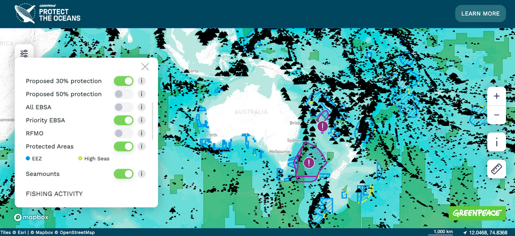
Imagine a single industrial fishing vessel, dragging vast nets brimming with fish from the ocean. Caught in the nets are also bycatch – dolphins and mantas helplessly flailing around. Now, imagine this one vessel being represented by a dot on a map. A single dot doesn’t seem so bad. But what if there were thousands spread across the ocean?
With a few clicks, our 30X30 Protect the Oceans interactive map brings this terrifying mental picture to life.
Take a look at the interactive map here
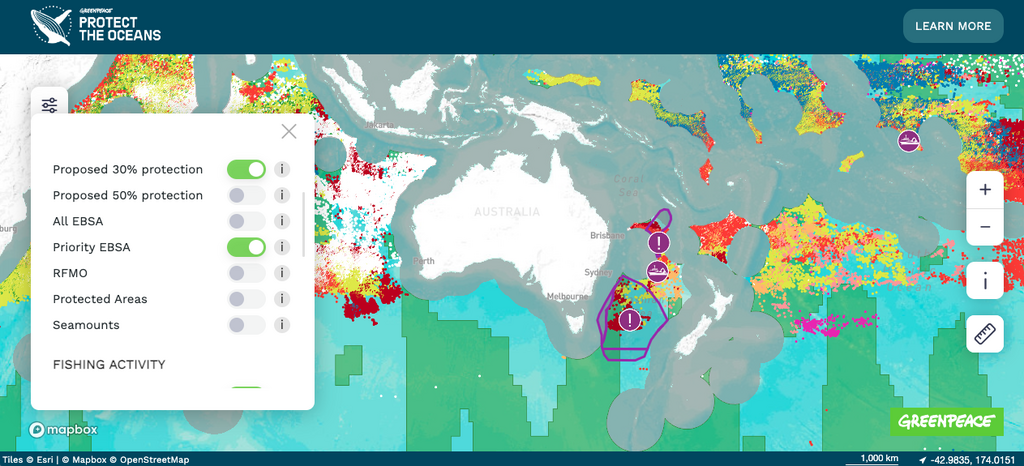
Greenpeace International’s new report, titled 30×30: From Global Ocean Treaty to Protection at Sea, highlights the fact that apparent annual fishing activity in the High Seas rose 8.5% to nearly 8.5 million hours between 2018 and 2022. In simple terms, this means the amount of fishing happening in our global oceans is increasing rapidly. The map lets you track the year-on-year increase by country and fishing gear. You can also see how the fishing activity overlaps with biodiversity hotspots.
Unfortunately, the scale of the ocean crisis goes beyond industrial fishing. Ocean threats are mounting, from plastic pollution to deep-sea mining. Map icons help pinpoint these threats and the areas in which they are most prevalent.
It may seem that this map only captures the devastating reality of ocean destruction. But it also gives us hope by clearly showing what 30% and 50% ocean protection could look like. The new Global Ocean Treaty is a powerful tool to help governments make 30×30 a reality.
In September, the Treaty opened for signature at the UN General Assembly. The map keeps track of the countries that have signed and ratified the Treaty; thus far, 81 governments, including New Zealand, have committed to making the Treaty legally binding. At the same time, this map will help keep up the pressure on those who haven’t.
Scientists agree that a network of ocean sanctuaries can help our oceans heal, giving marine life an opportunity to recover and thrive. The map identifies the first set of priority areas to protect under the Treaty, including an area in the Pacific between New Zealand and Australia, and shares information on the significance of these fragile ecosystems.
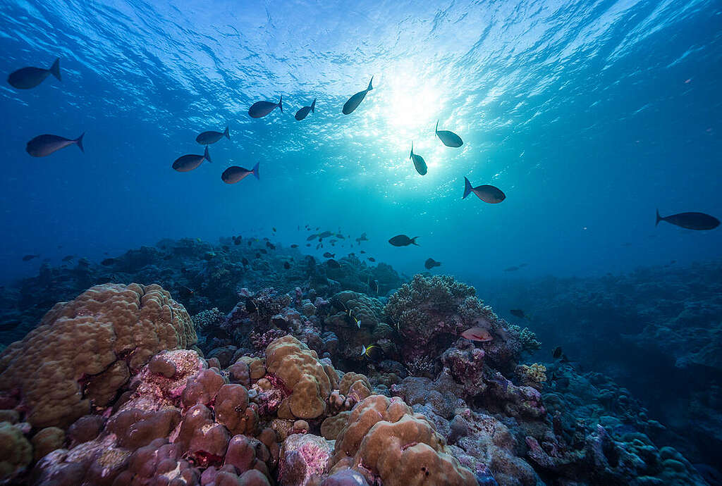
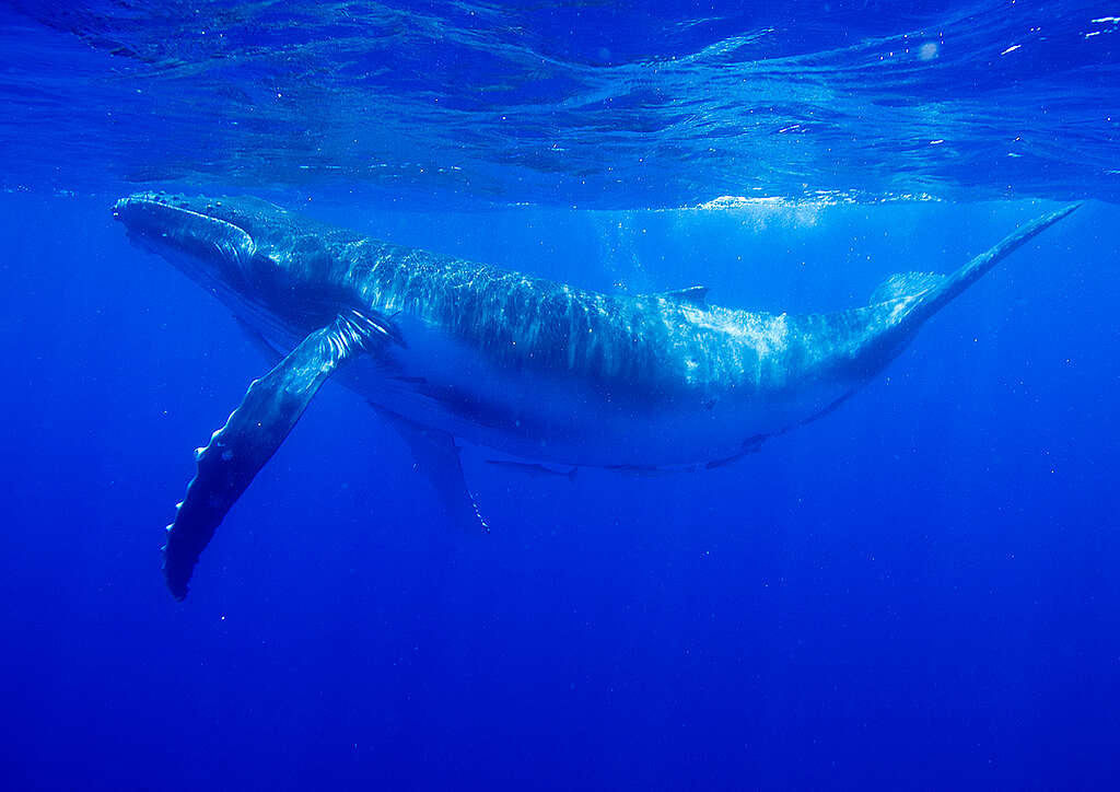
Imagine ocean sanctuaries bursting with bright red swords of seaweed, multi-coloured reefs and swirling schools of fish – ocean oases teaming with life, protected and free from any destructive practices. Now imagine our oceans covered in them. Many dots and icons representing ocean threats have now disappeared. Don’t you wonder what that map would look like?
Call on the Foreign Affairs Minister Winston Peters to create new global ocean sanctuaries and protect our blue planet.